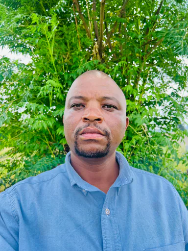
Moeti M.
Mid-Level Geospatial Cartographer
Open to offersNew to PlatformAbout
Moeti M. is a seasoned Cartographer at the Department of Land Survey and Physical Planning, specializing in the production and management of national and local-scale maps for land administration, infrastructure development, and environmental management. With advanced academic training including a master’s degree in environmental and information studies from Tokyo City University and professional certification in Geoinformatics from the Indian Institute of Remote Sensing, he brings hands-on expertise in GIS-based planning, spatial analysis, and remote sensing applications. Moeti has contributed significantly to climate change adaptation, resilience-building, and natural resources management projects within the public sector, often collaborating with planners and government stakeholders on multidisciplinary initiatives related to land use and sustainable development. Through membership in the Lithabaneng Innovation Management Hub, he has supported technology-driven solutions for environmental challenges.
Experience
Cartographer
Department of Land Survey and Physical Planning · 2014 — PresentProduced and updated national and local-scale maps to aid in land administration and physical planning. Analyzed and managed geospatial datasets related to land use, environmental management, and infrastructure development. Conducted spatial analysis and mapping to support environmental management efforts, focusing on sensitive ecosystems and assessing land degradation and development impacts. Provided GIS-based assessments and tools for natural resources management initiatives. Integrated climate change and resilience factors into spatial planning and geospatial outputs. Collaborated with planners and environmental officers alongside various government stakeholders on multidisciplinary projects.Member
Lithabaneng Innovation Management HubEngaged in innovation-oriented initiatives targeting sustainable development and environmental solutions. Provided geospatial and environmental expertise to collaborative projects and participated in knowledge-sharing platforms.
Skills & Expertise
Education
- Master of Environmental and Information StudiesTokyo City University · 2020 — 2022
- Bachelor of Science in Physical GeographyNational University of Lesotho · 2004 — 2008
Interested in this professional?
Sign in as an employer to save this profile or invite Moeti M. to a job.
Sign in as an employer