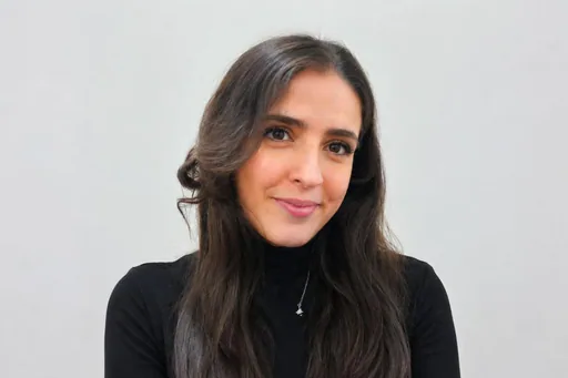
Syrine B.
Junior GIS Developer
Open to offersNew to PlatformAbout
Syrine B. is a skilled GIS and Topography Specialist with a Master’s degree in Topography and Territorial Projects from Faculté des Sciences de Tunis. She excels in the development and implementation of geographic information systems, with practical expertise gained across diverse internships. At Association AGI, she applied remote sensing techniques to perform spatial analysis for urban vegetation using advanced GIS tools, including ArcGIS and QGIS. At URBATECHINTER, she developed an interactive mapping platform for lot and parcel leasing and sales using React, Django, and a spatial database with PostgreSQL. Her tenure at Groupe ATGT involved transforming point-cloud data into detailed topographic deliverables useful for engineering projects, while her role at Office National du Thermalisme et de l’Hydrotherapie focused on the creation of a geographic database for Tunisia's thermal water sources. Fluent in French and with intermediate English skills, Syrine is seeking to apply her technical skills to impactful land-development projects.
Experience
Intern, Urban Tree Assessment
Association AGI · 2026 — PresentConducted spatial analysis for urban vegetation evaluation through GIS and remote sensing techniques, which included calculating the NDVI vegetation index and implementing automatic tree detection via a deep-learning model while performing multi-criteria analysis using the Analytic Hierarchy Process (AHP).Web GIS Developer Intern
URBATECHINTER · 2026 — PresentDeveloped an interactive mapping platform for leasing and sales of lots and parcels, which involved building the front-end with React while integrating Leaflet and Mapbox GL, as well as implementing the back-end using Django (Python) and designing a PostgreSQL spatial database.Topography Intern
Bureau d’études Groupe ATGT · 2025 — 2025Created detailed topographic deliverables from point cloud data, producing accurate topographic plans, converting 2D plans into 3D models, generating Digital Terrain Models (DTM), and mapping underground utility networks.GIS Intern
Office National du Thermalisme et de l’Hydrotherapie · 2023 — 2023Developed a geographic database and a web application to visualize thermal water sources in Tunisia, which included designing a central geodatabase and creating thematic maps.
Skills & Expertise
Education
- Master Professional in Topography and Territorial ProjectsFaculté des Sciences de Tunis · 2023 — 2025
- Licence in Applied Geomatics to Earth SciencesFaculté des Sciences de Tunis · 2020 — 2023
- Baccalaureate in Technical SciencesLycée Taieb Mhiri, Menzel Temime · 2019 — 2020
Interested in this professional?
Sign in as an employer to save this profile or invite Syrine B. to a job.
Sign in as an employer